We stopped by the Strawberry Visitor Center just to the north of Strawberry Reservoir and bought a large map called "Summer Travel Map, Uinta National Forest." This map shows ATV trails throughout Uinta National Forest. Unfortunately, it is dated 2007, and there are undoubtedly some road closures, etc. not shown. You can find updated information by visiting
http://fs.fed.us/r4.uwc
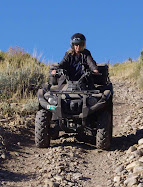
Just a little over a mile to the east of the visitor center on Highway 40 is a trail head named Co-op Creek/Chicken Creek. A staging area for ATV trail 245 is next to the road. A well-kept gravel road (082) continues north. No ATVs are allowed on this gravel road until it intersects with Trail 245 about 6 miles north. Since we didn't have our ATVs, we traveled on this gravel road north.
 |
| View from north of Strawberry Reservoir on Road 082 |
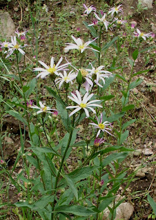
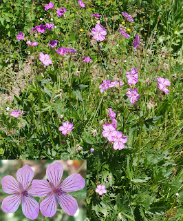
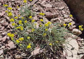
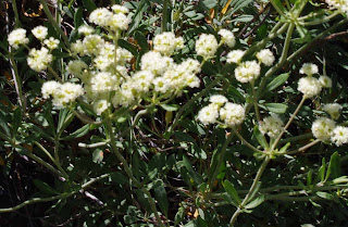
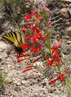
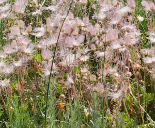
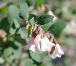
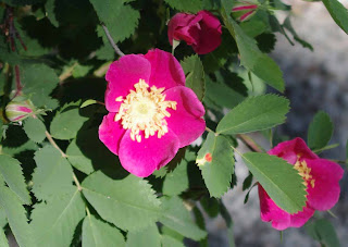
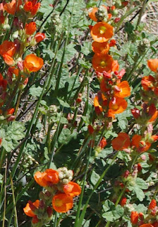
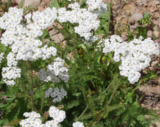
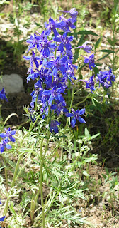
Since Road 082 roughly parallels Trail 245, we stopped and took photographs of wildflowers along the way.
 |
| Blue Flax (Linum perenne) |

