Sunday, November 14, 2010

Five Mile Pass Old Mine Quarries and Tailings

More landscapes from Five Mile Pass
Old Mine Tailings at Five Mile Pass

Trail next to mine tailings
Open pit mine near Mercur, Utah
Be sure to avoid going into abandoned mines. They are very dangerous. Don't go past fences and stay out of areas that are posted "no trespassing."


Stopped for lunch at Five Mile Pass

Fivemile Pass Flora

Some plants we saw at Five Mile Pass
Curl-leaf Mountain Mahogany (Cercocarpus ledifolius)
Curl-leaf Mountain Mahogany Seeds shining in the Sun
Rubber Rabbitbrush Seeds (Chrysothamnus nauseosus)

Clematis Vine Seeds (Ranunculacaeae) Buttercup Family

Friday, November 12, 2010

Five Mile Pass Staging Area

Staging area on north side of Highway 73.

Staging Area at Fivemile Pass
Large Staging Area at Five Mile Pass
Mount Timpanogos is seen in distance

Vault Toilets at Fivemile Pass Staging Area

Thursday, November 4, 2010

November 3 Visit to Five Mile Pass


Panorama at Five Mile Pass. See Mount Timpanogos on the left.

Five Mile Pass is about 10 miles southwest of Cedar Fort, Utah on Highway 73. We went into the hills to the north of the highway. Be sure not to trespass on private property.


View 5 mile pass in a larger map
The top marker shows Eagle Hill. We were just south of the old ghost town of Mercur, Utah. We could see an old mine near Mercur, Utah from this overlook. (Pictured in a later post.) The second blue marker shows where we saw a drill rig next to the trail. The third marker is where the old mine tailings were located. (Again pictured in a later post.)

The trails range from easy to very difficult. Many trails follow valleys and some go up and down steep rocky hills. Pick and choose according to your riding ability.

Eagle Hill is over 7,800 feet in elevation. The Staging area is at approximately 5,220 feet elevation.

Monday, September 27, 2010

Little Bear Trail, Shoshone Trail 25

Sept 23 Visit

Little Bear Trail
Little Bear Trail, Uinta-Wasatch-Cache National Forest

Little Bear Trail No. 010, Logan Canyon
Little Bear Trail
Looking East Toward Highway 89 from Worm Fence Trail

Yellow Shrub near Little Bear Trail

Worm Fence Trail (Shoshone Trail 25) Near Temple Fork Road and Pacific Asters

Worm Fence Trail or Shoshone Trail 25


Pacific Aster (Aster ascendens)


Steep Part of Worm Fence Trail Near Trailhead
Lower Altitude Worm Fence Trail Through Sagebrush

Bigtooth Maples, Aspen Trees, Rabbitbrush along Shoshone Trail 25

Worm Fence Trail or Shoshone Trail 25


Rubber Rabbitbrush (Chrysothamnus nauseosus)


Butterfly on Rabbitbrush

Maples Along Worm Fence Trail

More Bigtooth Maples and Aspens along Worm Fence Trail (Shoshone Trail 25)

Bigtooth Maples along Worm Fence Trail

Sunday, September 26, 2010

Motor Vehicle Use Map Logan Ranger District Uinta-Wasatch-Cache National Forest

A copy of the Motor Vehicle Use Map of the Logan Ranger District can be picked up at Logan Ranger District, 1500 E Highway 89, Logan, Utah. A map can be downloaded at Uinta-Wasatch-Cache National Forest- Maps & Publications and click on Logan Ranger District. The Trail is approximately 8.2 miles long and ends at Shoshone Trail 3 (Road 055) on the north and begins on the south end at Shoshone Trail 30 (Temple Fork Road.)


Motor Vehicle Use Map for Worm Fence Trail
and Little Bear Trail

Worm Fence Trail, also known as Shoshone Trail 25

This trail is labeled "most difficult." It has steep rocky surfaces. We used four-wheel drive going up the rocky hillsides. The lower balloon marker shows approximately where we parked at the staging area. The other marker shows approximately where the Little Bear Trail started. South of that marker is considered Worm Fence Trail.


View Temple Fork Rd Logan, Ut in a larger map

September 23 Visit to Temple Fork Road, Logan Canyon, Utah

Temple Fork Road is up Logan Canyon about 17 miles east of Logan on Highway 89. We turned right on Temple Fork Road and drove about 1 mile to a staging area. Temple Fork is a narrow gravel road that is hard for two full-size vehicles to pass. One vehicle will have to pull over as the other slowly passes, so drive carefully.
Our GPS location at the staging area was N41degrees 49.795 W111degrees34.768 Elev. 5858 ft.


Staging Area near Worm Fence Trail
Another View of Staging Area Looking toward
Temple Fork Road


Staging Area Temple Fork Creek
Worm Fence Trail and Cows near Trailhead
 

Monday, September 20, 2010

Panorama from Wolverine Trail Area

Panorama from Yurt Ridge looking East toward East Fork of the Bear River

Oregon Grapes, Rose Hips and Pea Family Pods

Oregon Grape Mahonia Repens


Oregon Grape leaves turning red.

Pea Family (Fabaceae) Seed Pods

Wild Rose Hips

Sunday, September 19, 2010

Lily Lake at Wolverine Trail, Utah


See the water lilies in the middle of the photo?


Aspen leaves turning yellow
Aspens along Wolverine Trail

Pictures Along Wolverine Trail


Motor Vehicle Use Map Near Lily Lake


Wolverine Trail Through Burned Area


Yurt Ridge Trail
The Aspens and Pines are beginning to Grow Again


Ford Super Duty F-350 and Yahama Grizzlies
At Wolverine Campground


Saturday, September 18, 2010

Wolverine Trail Map

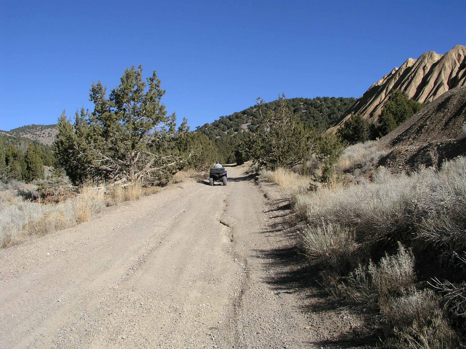
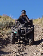
Here is a map of our journey on the Wolverine Trail. The sign at the campground trailhead states that it is a "more difficult" trail. The trail allows one way traffic going uphill for a short distance. The southernmost marker on the map shows a one way trail that splits off of the main trail. On the way down, this one-way trail should be taken. The first part of the trail is quite steep and rocky. The trail levels out and goes northeast through an area where there was a forest fire. The aspens and pines are beginning to grow back. The middle marker shows where the Yurt Ridge Trail branches off to the right about 1.8 miles from the trailhead. The sign stated it was rated "most difficult." This means it may have rocky surfaces, sharp turns, switchbacks, steep grades, narrow passages, low overhangs, ledges and large rocks. Can be slippery and muddy when wet. May have tree stumps limbs or other debris. Machines with low ground clearance may strike or high center on obstacles. Some riders may be more comfortable using four-wheel drive machines. Our Yamaha Grizzly 550 EPS 4WD ATVs were put to good use on this rocky steep trail. We definitely needed the 4WD.

The Yurt Ridge Trail is a steep trail that leads to a ridge where there are fantastic views of the valleys below. About a mile up from the beginning of Yurt Ridge Trail is Ridge Yurt - a round tent-like shelter used during the winter by winter recreationists. This is marked by the third marker on the map. Ridge Yurt has a trail leading to it that dead-ends.

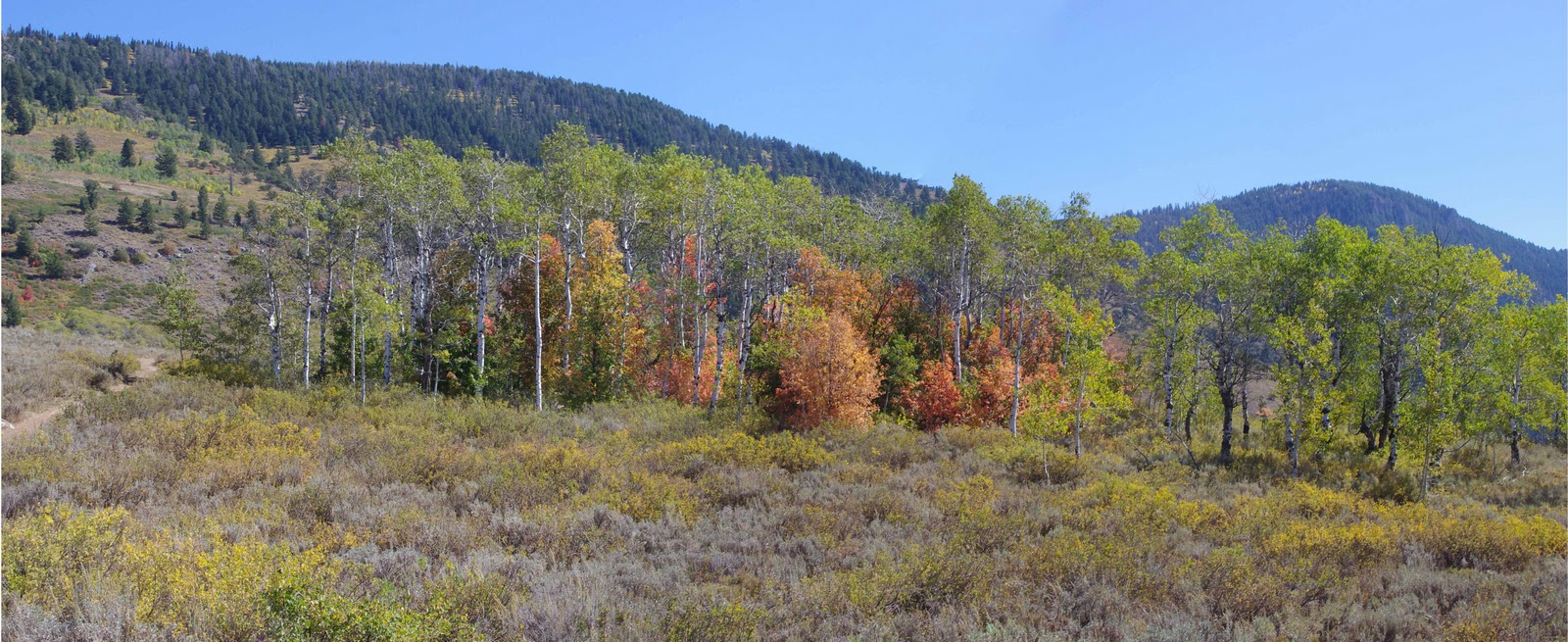
If you don't want to take Yurt Ridge Trail where it splits off of Wolverine, stay to the left. This trail goes down through the valley and leads to Lily Lake. We stopped by the shore of the lake then went around the north side on a trail that leads to a dead end on the west side of the lake.


View
Wolverine Trail in a larger map

September 15 Visit to Wolverine Trail

Panorama from Yurt Ridge Trail  looking West toward Stillwater Fork and Hayden Fork of the Bear River
Wolverine Trail is 47 miles east of Kamas on State Route 150. It is in the Uinta-Wasatch-Cache National Forest in the Mountain View/Evanston Ranger Districts. This link Wasatch-Cache National Forest tells more about the area. Wolverine Trai is labeled a "more difficult" trail. The trailhead is located in the Wolverine Campground. This is a fee area. The fee was $6.00 for day use. For more information about the campground, click this link: PublicLands.org site

Wolverine Trail Campground
The campground has a vault toilet and no water. There is room for small trailers only. A sign at the trailhead says an oil exploration well was drilled at the Wolverine Trailhead in 1984 by Wolverine Exploration Company. The drill pad was converted to this trailhead with funds provided by Wolverine Exploration Company and State of Utah off-highway vehicle grant funds.


Wolverine Trailhead

Saturday, September 11, 2010

Panorama From Trail 30 South of Smith and Morehouse Reservoir

Panorama From Trail 30 south of Smith and Morehouse Reservoir


Trail 30 south of Smith and Morehouse Reservoir
Trail Through Aspens


Trail 030 through meadows south of Smith and Morehouse Reservoir
Trail 030 Through Meadow


Trail 30 pines south of Smith and Morehouse Reservoir
Trail 030 Through Pines


Geranium leaves turning red in autumn
Geranium Leaves turning red in Autumn