Monday, September 27, 2010

Little Bear Trail, Shoshone Trail 25

Sept 23 Visit

Little Bear Trail
Little Bear Trail, Uinta-Wasatch-Cache National Forest

Little Bear Trail No. 010, Logan Canyon
Little Bear Trail
Looking East Toward Highway 89 from Worm Fence Trail

Yellow Shrub near Little Bear Trail

Worm Fence Trail (Shoshone Trail 25) Near Temple Fork Road and Pacific Asters

Worm Fence Trail or Shoshone Trail 25


Pacific Aster (Aster ascendens)


Steep Part of Worm Fence Trail Near Trailhead
Lower Altitude Worm Fence Trail Through Sagebrush

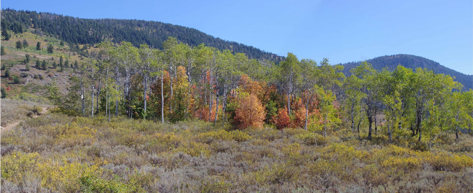
Bigtooth Maples, Aspen Trees, Rabbitbrush along Shoshone Trail 25

Worm Fence Trail or Shoshone Trail 25


Rubber Rabbitbrush (Chrysothamnus nauseosus)


Butterfly on Rabbitbrush

Maples Along Worm Fence Trail

More Bigtooth Maples and Aspens along Worm Fence Trail (Shoshone Trail 25)

Bigtooth Maples along Worm Fence Trail

Sunday, September 26, 2010

Motor Vehicle Use Map Logan Ranger District Uinta-Wasatch-Cache National Forest

A copy of the Motor Vehicle Use Map of the Logan Ranger District can be picked up at Logan Ranger District, 1500 E Highway 89, Logan, Utah. A map can be downloaded at Uinta-Wasatch-Cache National Forest- Maps & Publications and click on Logan Ranger District. The Trail is approximately 8.2 miles long and ends at Shoshone Trail 3 (Road 055) on the north and begins on the south end at Shoshone Trail 30 (Temple Fork Road.)


Motor Vehicle Use Map for Worm Fence Trail
and Little Bear Trail

Worm Fence Trail, also known as Shoshone Trail 25

This trail is labeled "most difficult." It has steep rocky surfaces. We used four-wheel drive going up the rocky hillsides. The lower balloon marker shows approximately where we parked at the staging area. The other marker shows approximately where the Little Bear Trail started. South of that marker is considered Worm Fence Trail.


View Temple Fork Rd Logan, Ut in a larger map

September 23 Visit to Temple Fork Road, Logan Canyon, Utah

Temple Fork Road is up Logan Canyon about 17 miles east of Logan on Highway 89. We turned right on Temple Fork Road and drove about 1 mile to a staging area. Temple Fork is a narrow gravel road that is hard for two full-size vehicles to pass. One vehicle will have to pull over as the other slowly passes, so drive carefully.
Our GPS location at the staging area was N41degrees 49.795 W111degrees34.768 Elev. 5858 ft.


Staging Area near Worm Fence Trail
Another View of Staging Area Looking toward
Temple Fork Road


Staging Area Temple Fork Creek
Worm Fence Trail and Cows near Trailhead
 

Monday, September 20, 2010

Panorama from Wolverine Trail Area

Panorama from Yurt Ridge looking East toward East Fork of the Bear River