Friday, March 11, 2011

March 10, 2011 Visit to Little Sahara Recreation Area

Little Sahara is approximately 115 miles south of Salt Lake City. It is 28 miles west of Nephi. Click here for more information about it: Little Sahara Recreation Area

Little Sahara consists of 60,000 acres of sagebrush flats, juniper covered hills and sand dunes. Sand Mountain is in the southern section. The base elevation is 4800 ft. and it rises to 5471 ft.

Little Sahara Recreation Area Map
There are four campgrounds with drinking water and flushable toilets in the warm months. In the winter, vault toilets only are available. The visitor's center is open year around. When we visited, the sign said it was closed on Tuesdays and Wednesdays.

Dispersed camping is permitted throughout Little Sahara Recreation Area, but please "leave no trace."

Day use fee was $18.00 for one night, checkout was at 2:00 p.m. A permit good for a year is $120.00

The trails range from easy to very difficult. Whip flags must be used.

View from Sand Mountain looking southwest toward Delta
View from Sand Mountain looking northeast toward
primitive campground/staging area

Sunday, November 14, 2010

Five Mile Pass Old Mine Quarries and Tailings

More landscapes from Five Mile Pass
Old Mine Tailings at Five Mile Pass

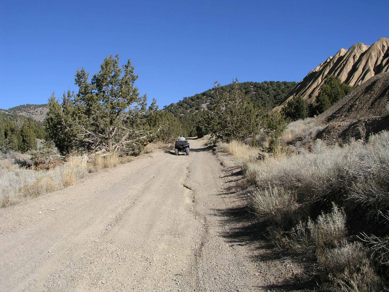
Trail next to mine tailings
Open pit mine near Mercur, Utah
Be sure to avoid going into abandoned mines. They are very dangerous. Don't go past fences and stay out of areas that are posted "no trespassing."


Stopped for lunch at Five Mile Pass

Fivemile Pass Flora

Some plants we saw at Five Mile Pass
Curl-leaf Mountain Mahogany (Cercocarpus ledifolius)
Curl-leaf Mountain Mahogany Seeds shining in the Sun
Rubber Rabbitbrush Seeds (Chrysothamnus nauseosus)

Clematis Vine Seeds (Ranunculacaeae) Buttercup Family

Friday, November 12, 2010

Five Mile Pass Staging Area

Staging area on north side of Highway 73.

Staging Area at Fivemile Pass
Large Staging Area at Five Mile Pass
Mount Timpanogos is seen in distance

Vault Toilets at Fivemile Pass Staging Area

Thursday, November 4, 2010

November 3 Visit to Five Mile Pass


Panorama at Five Mile Pass. See Mount Timpanogos on the left.

Five Mile Pass is about 10 miles southwest of Cedar Fort, Utah on Highway 73. We went into the hills to the north of the highway. Be sure not to trespass on private property.


View 5 mile pass in a larger map
The top marker shows Eagle Hill. We were just south of the old ghost town of Mercur, Utah. We could see an old mine near Mercur, Utah from this overlook. (Pictured in a later post.) The second blue marker shows where we saw a drill rig next to the trail. The third marker is where the old mine tailings were located. (Again pictured in a later post.)

The trails range from easy to very difficult. Many trails follow valleys and some go up and down steep rocky hills. Pick and choose according to your riding ability.

Eagle Hill is over 7,800 feet in elevation. The Staging area is at approximately 5,220 feet elevation.

Monday, September 27, 2010

Little Bear Trail, Shoshone Trail 25

Sept 23 Visit

Little Bear Trail
Little Bear Trail, Uinta-Wasatch-Cache National Forest

Little Bear Trail No. 010, Logan Canyon
Little Bear Trail
Looking East Toward Highway 89 from Worm Fence Trail

Yellow Shrub near Little Bear Trail

Worm Fence Trail (Shoshone Trail 25) Near Temple Fork Road and Pacific Asters

Worm Fence Trail or Shoshone Trail 25


Pacific Aster (Aster ascendens)


Steep Part of Worm Fence Trail Near Trailhead
Lower Altitude Worm Fence Trail Through Sagebrush